


Read more
13.04.2025
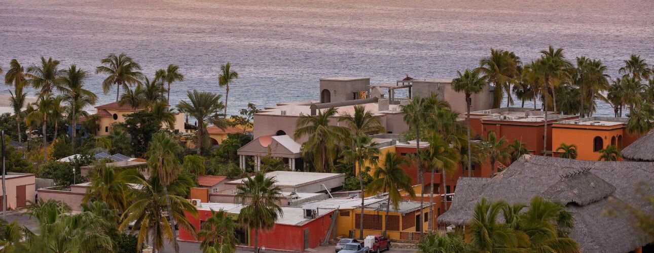
Explore deals, travel guides and things to do in Baja California
Baja California, officially the Free and Sovereign State of Baja California (Spanish: Estado Libre y Soberano de Baja California), is a state in Mexico. It is the northernmost and westernmost of the 32 federal entities of Mexico. Before becoming a state in 1952, the area was known as the North Territory of Baja California (Territorio Norte de Baja California). It has an area of 70,113 km2 (27,071 sq mi) (3.57% of the land mass of Mexico) and comprises the northern half of the Baja California Peninsula, north of the 28th parallel, plus oceanic Guadalupe Island. The mainland portion of the state is bordered on the west by the Pacific Ocean; on the east by Sonora, the U.S. state of Arizona, and the Gulf of California; on the north by the U.S. state of California; and on the south by Baja California Sur. The state has an estimated population of 3,769,020 as of 2020, significantly higher than the sparsely populated Baja California Sur to the south, and similar to San Diego County, California, to its north. Over 75% of the population lives in Mexicali (the state's capital city), Ensenada, or Tijuana (the state's largest city). Other important cities include San Felipe, Rosarito, and Tecate. The population of the state is primarily composed of Mestizos, mostly migrants from other parts of Mexico, and as with most northern Mexican states, a large population of Mexicans of Spanish ancestry, and also a large minority group of people with East Asian, Middle Eastern, and indigenous descent. Additionally, there is a large immigrant population from the United States due to its proximity to San Diego and the significantly lower cost of living compared to that city. There is also a significant population from Central America. Many immigrants moved to Baja California for a better quality of life and the number of higher-paying jobs in comparison to the rest of Mexico and Latin America. Baja California is the 12th-largest state by area in Mexico. Its geography ranges from beaches to forests and deserts. The backbone of the state is the Sierra de Baja California, where Picacho del Diablo, the highest point of the peninsula, is located. This mountain range effectively divides the weather patterns in the state. In the northwest, the weather is semi-dry and Mediterranean. In the narrow center, the weather changes to be more humid due to altitude. It is in this area where a few valleys can be found, such as the Valle de Guadalupe, the major wine-producing area in Mexico. To the east of the mountain range, the Sonoran Desert dominates the landscape. In the south, the weather becomes drier and gives way to the Vizcaíno Desert. The state is also home to numerous islands off both of its shores. Baja California is also home to Guadalupe Island, the westernmost point of Mexico. The Coronado Islands, Todos Santos islands, and Cedros Island are also on the Pacific shore. On the Gulf of California, the largest island is Angel de la Guarda Island, separated from the peninsula by the deep and narrow Canal de Ballenas. -Wikipedia

Time Zone
GMT -07:00
Currency
Mexican Peso
1USD = 19.93 MXN
Best time to visit
June
July

JAN
FEB
MAR
APR
MAY
JUN
JUL
AUG
SEP
OCT
NOV
DEC

Find the clinics that we recommend in Baja California


Find the doctors that we recommend in Baja California
Read our blogs and learn more